3) Dimensions of Complexity of Aquatic Systems
Revealing patterns and dynamics in freshwater systems and biota



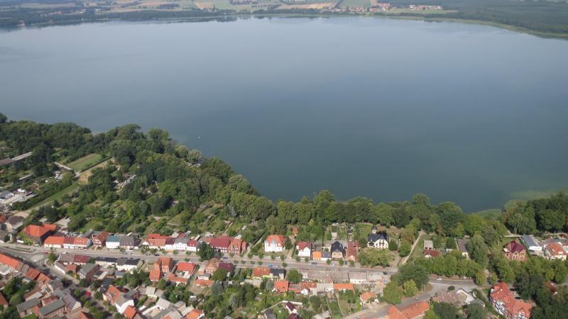
Aquatic ecosystems are intrinsically complex because they have a network structure and nonlinear processes often take place at various spatial and temporal scales. Nonlinear reactions can occur, for example, as a result of perturbations that trigger a so-called regime shift, such as prolonged drought. Important determinants of complex aquatic ecosystems are the landscape structure in which the water bodies are located and the connectivity, i.e. the interconnection of the water bodies at different levels: These include the flows of water, energy, information, nutrients and pollutants, and the dispersal of organisms. These processes determine the structure and dynamics of ecosystems and are changed over time by external factors such as land use and climate change.
In the programme area “Dimensions of complexity of aquatic systems”, IGB aims to gain a better understanding of the dynamics and functioning of aquatic systems and the living organisms within them. Its overall goal is to enhance our mechanistic understanding on how freshwater ecosystems function and to study their spatial and temporal scaling. An important focus is on the interfaces and interactions between terrestrial and aquatic habitats, between sediment and the water column, between water and air, and between and within organisms.
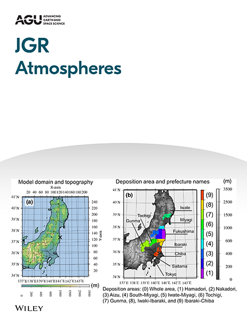
The authors used an isotope-enabled spectral model to improve the simulation of precipitation and its isotopic composition over Costa Rica to assess the feasibility of using atmospheric model outputs as forcing data for ecohydrological models. When simulating long-term hydrological processes the model outputs provide a reliable source of forcing data and can be used for hydrological forecasts.

This study presents a multi-tracer approach to investigate the impacts of urbanization on pond pollution at the city-scale, linking trace organic contaminant data, urban hydrology, and urbanization measures. In Berlin, urban ponds contained a wide variety of dissolved organic contaminants, with water inflow being a more important driver of high contaminant concentrations than surrounding land use.

The authors developed a parsimonious, tracer-aided forest management scenario framework using an ecohydrological model, which was designed to isolate the dominant vegetation-structural controls on long-term water partitioning. Evapotranspiration was highest under conifers, exceeding broadleaf forests and agroforestry by 7 % and 11 %. Agroforestry exhibited the greatest groundwater recharge.

The authors used stable water isotopes to trace the origin of precipitation and are developing a new, isotope-based Evaporation and Moisture Recycling Index (iEMI). The iEMI can identify anomalous dry periods and links evaporation-driven precipitation to droughts in Europe, Africa, and Australia. This innovative index can help improve drought monitoring and optimize water management worldwide.
This study provides high-resolution, field-based evidence of the importance of accounting for short-term flow interruptions in river management strategies. It demonstrated that a one-day streamflow interruption of the side channel of the River Erpe caused a significant decrease in diel surface water oxygen amplitude and porewater oxygen concentrations, as well as a metabolic shift after rewetting.