Dörthe Tetzlaff
Research Group LeaderDepartment
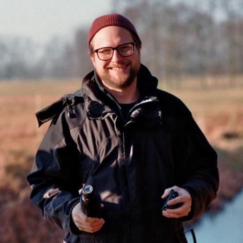
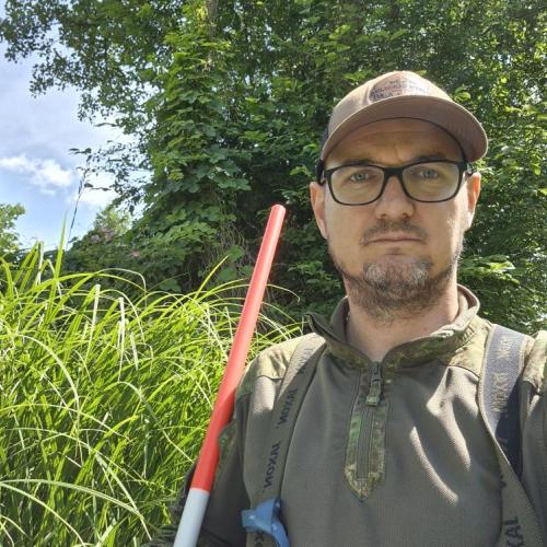
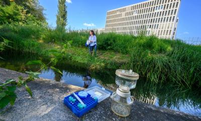
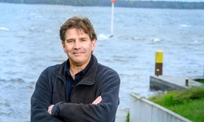
Our research allows us to estimate where and how much water is stored in the landscape. This allows us to predict severe flooding and to estimate the effects of droughts. | Photo: Lukas Kleine
We aim to understand the ecohydrological functioning of catchments at different spatio-temporal scales, i.e. how and how long is water stored and released in landscapes. For this, we link landscapes and riverscapes by understanding the physical processes that generate stream flow, and the way these processes influence the hydrochemistry and ecohydrology of landscapes and streams. One of our main tools is the use of stable isotope tracers as "fingerprints" of waters to quantify internal processes of water storage, transmission and release, and ecohydrological fluxes monitored across spatio-temporal scales. We integrate our extensive environmental data into tracer-aided ecohydrological models of different complexity to parameterise ecohydrological fluxes and interactions in a physically-based way. This allows the effects of vegetation on water use, and the direct effects of climate and landuse change on water flow paths and availability to be quantitatively assessed.
Tracer-aided models use coupled isotope-hydrology water tracking to simulate stable isotope ratios and their transformation from precipitation to stream flow through fluxes in vegetation canopies, rooting zones, deeper soils and groundwater aquifers. These approaches also allow us to estimate ages of water. One goal is to investigate soil-vegetation-atmosphere-water dynamics through tracers and tracer-aided modelling to quantify the heterogeneity in spatio-temporal patterns of "green" (evaporation and transpiration) and "blue" (groundwater recharge and runoff) water fluxes and to identify how plant water use will affect and possibly alter signals of potential climate change. The group developed the tracer-aided ecohydrological model EcH2O-iso and other tracer-aided models (e.g. STARR).
For a detailed list of all our publications please check here.
Our experimental sites:
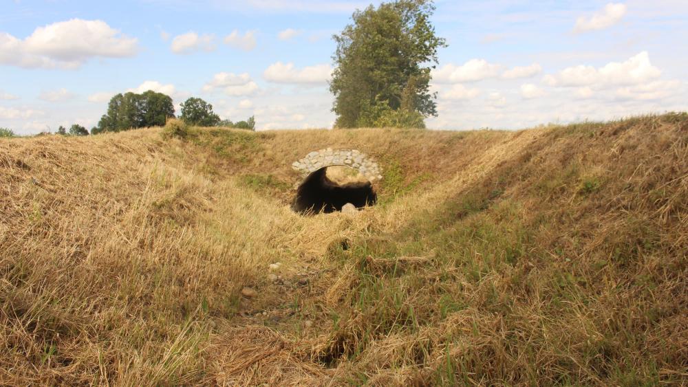
Currently, we work at the following main experimental sites: (i) The lowland Demnitzer MillCreek catchment in the East of Brandenburg, Germany, which has soil and vegetation conditions representative of the drought-sensitive parts of NE Germany and central Europe and where stream intermittence is a big issue. In 2023 it was selected as a one of the Global Network of Ecohydrology Demonstration Sites by the UNESCO-IHP ECOHYDROLOGY PROGRAMME. (ii) the urban area of Berlin, where we also conduct extensive monitoring of atmosphere-soil-vegetation-stream flow interactions in the city of Berlin to understand these processes in urban settings and thus, support decision-making for sustainable urban development; (iii) the floodplains of the National Park Lower Oder Valley to understand dynamics in floodplain-river connectivity; (iv) The Sophienfliess near Buckow, Maerkische Schweiz, where we aim to understand hydrological, water quality and water isotope dynamics in a steep headwater catchment in Brandenburg, affected by beaver activities; (v) The Spreewald in the Mid-Spree catchment to understand water partitioning processes in an ET-dominated, extended wetland region, which experienced historic mining with associated groundwater pumping and is important as Berlin’s water supply; (vi) Re-wetted peatlands in northern Germany as part of the DFG funded project WETSCAPES2.0; and internationally, (vii) The San Carlos catchment in Costa Rica, where we aim to couple the isotopic-enable hydrological model STARRtropics with the isotopic-enable atmospheric model IsoRSM in the tropical region; and (viii) the Girnock Burn catchment in NE Scotland, which is characteristic for northern climates with deep organic soils. We use local processed-based insights from different geographical environments within international inter-catchment comparisons to synthesise a more holistic understanding of hydrological and ecological function.
Our research delivers new scientific understanding for assessing how different land use affects "green" and "blue" water partitioning, providing a crucial basis for evaluating how water storage and flux dynamics can be mediated by land management strategies to build ecohydrological resilience and to protect water resources against future climate change.
Within Department 1, Ecohydrology & Biogeochemistry, our team addresses the three departmental research topics.
Here some examples of our current projects:
(i) Studies in rural landscapes of Brandenburg (the Spree catchment and the tributary of the Spree: Demnitzer MillCreek catchment):
Modelling the spatio-temporal patterns of hydrological and water quality processes at the catchment-scale (Wu et al., 2022, Disentangling the influence of landscape characteristics, hydroclimatic variability and land management on surface water NO3 ‐N dynamics: spatially distributed modelling over 30 years in a lowland mixed land use catchment. Water Resources Research) and wetland-scale (Wu et al., 2022, Tracer-aided identification of hydrological and biogeochemical controls on in-stream water quality in a riparian wetland. Water Research) to assess the role of climate, land use, vegetation, topography and other local drivers; evaluating the uncertainty in calibration process of distributed hydrological models (Wu et al., 2022, Identifying Dominant Processes in Time and Space: Time-varying Spatial Sensitivity Analysis for a Grid-based Nitrate Model. Water Resources Research) to bridge catchment hydrology and water quality with tracer-aided ecohydrological modelling (Wu et al., 2025, Hydrological connectivity dominates NO3-N cycling in complex landscapes – insights from integration of isotopes and water quality modelling. Water Resources Research) (Songjun Wu)
Using stable water isotopes and ecohydrological modelling via the EcoPlot-iso model to assess how forest management scenarios affect water partitioning and drought resilience across the soil–plant–atmosphere continuum in the drought-sensitive Demnitzer Mill Creek catchment (Dr. Cong Jiang); e.g. Jiang et al. (2025), Assessing the drought resilience of different land management scenarios using a tracer-aided ecohydrological model with variable root uptake distributions, Hydrology and Earth System Sciences (HESS).
Understanding the response of water fluxes and surface water NO3-N dynamics in a lowland mixed land-use catchment to long-term climate change using integrated tracer and modelling approaches(PhD Jieyuan Hao).
Using tracer-aided ecohydrological models to assess the long-term drought effects on landscape water storage and the impacts of alternative landuse strategies on optimizing water availability in drought sensitive catchments (Dr. Shuxin Luo). Luo et al., 2024, Long-term drought effects on landscape water storage and resilience under contrasting landuses. Journal of Hydrology. This project aimed to address the emerging challenges and devise strategies for coordinated action in the Berlin-Brandenburg model region (was funded from the Einstein Research Unit Climate and Water under Change, CliWaC).
Investigating inter-annual variation in water quality in an intermittent lowland headwater stream under drought conditions and high-resolution water quality dynamics of riparian wetlands in nutrient-rich lowland catchments (Wang et al., 2025a, Hydrological Processes) investigating seasonal and inter-annual dynamics in water quality and stream metabolism in a beaver-impacted drought-sensitive lowland catchment and how hydrological connectivity drives intra- and inter-annual variation in water quality in an intermittent stream network in a mixed land use catchment under drought. (Wang et al., 2025b, Journal of Hydrology; PhD Famin Wang).
Understanding groundwater-surface water dynamics in a mixed land use, lowland catchment through integrating water stable isotopes, hydrochemistry, geophysical and modelling approaches Ying et al., 2024, Developing a conceptual model of groundwater – surface water interactions in a drought sensitive lowland catchment using multi-proxy data. Journal of Hydrology; Storage dynamics and groundwater–surface water interactions in a drought sensitive lowland catchment: process-based modelling as a learning tool. Hydrological Processes. (PhD Zhengtao Ying).
Evaluating the storage-flux-isotope-water age spatio-temporal interactions and partitioning of “blue” (groundwater and surface water) and “green” (evapotranspiration) water in the Demnitzer Mill Creek catchment using the physically based- tracer-aided ecohydrological model, EcH2O-iso (Dr. Aaron Smith) e.g. Smith et al., 2022; Critical zone response times and water age relationships under variable catchment wetness states: insights using a tracer-aided ecohydrological model. Water Resources Research; Smith et al., 2021, Quantifying the effects of land use and model scale on water partitioning and water ages using tracer-aided ecohydrological models. Hydrology and Earth System Science. (HESS); Kleine et al., 2021, Modelling ecohydrological feedbacks in forest and grassland plots under a prolonged drought anomaly in central Europe 2018-2020. Hydrological Processes.
Using stable water isotopes and ecohydrological monitoring to investigate the interlinkages between the soil-plant-atmosphere continuum (SPAC) as well as the effects of specific land use types (forest, agriculture, and grassland) on the ecohydrological fluxes of the Demnitzer Mill Creek catchment (PhD Jessica Landgraf); e.g. Landgraf et al. (2022) Using stable water isotopes to understand ecohydrological partitioning under contrasting land uses in a drought-sensitive rural, lowland catchment. Hydrological Processes.
Applying AI-based approaches to investigate water fluxes and stable water isotopes dynamics under varying land use types within SPAC, and their integration into physically-based hydrological models to enhance high-frequency ecohydrological simulation within the ISO-SCALE project (PhD Hyekyeng Jung)
Investigations of the Spree river: Large scale synoptic surveys using water stable isotopes (PhD Ke Chen) Chen at al., 2023, Synoptic water isotope surveys to understand the hydrology of large intensively managed catchments. Journal of Hydrology; and Nitrate Liu et al., 2023, Quantifying changes and trends of NO3 concentrations and concentration-discharge relationships in complex large, heavily managed river systems. Journal of Hydrology, (Dr Ji Liu); and tracer-aided modelling (PhD Hanwu Zheng) to understand the hydrology and concentration-discharge relationships of a large intensively managed catchment.
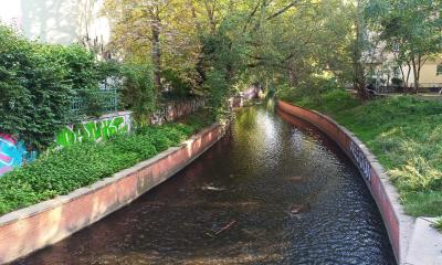
(ii) Research in urban ecosystems of Berlin:
Using stable water isotopes and environmental DNA to investigate the interlinkages between microbial community patterns and hydrology as well as other biotic and abiotic factors in urban streams, to assess the resilience and functioning of urban blue-green infrastructure and improve planning and restoration of nature-based solutions in cities funded by the project BiNatUr – Bringing Nature Back (Dr. Maria Magdalena Warter). Warter et al., 2024, Environmental DNA, hydrochemistry and stable water isotopes as integrative tracers of urban ecohydrology. Water Research., Understanding ecohydrology and biodiversity in aquatic nature-based solutions in urban streams and ponds through an integrative multi-tracer approach. HESS
Combining stable water isotopes and trace organic contaminants to investigate the interactions between pollution dynamics, urban hydrological processes, and the impact of urbanization on urban pond systems, with the objective of assessing emerging threats to pond ecosystem functionality under the pressures of climate change and further urban growth: POllution in UrbaN ponds, eco-evolutionary Dynamics, and Ecosystem Resilience (POUNDER) (PhD Elise Malsch-Fröhlich)
Using long-term stable water isotopes to investigate the impact of drought and water management on flow regimes in anthropogenically impacted catchments: Impact of drought hazards on flow regimes in anthropogenically impacted streams: an isotopic perspective on climate stress NHESS.
Using in-situ measurements of isotopes in plant xylem and atmospheric vapour and synoptic sampling to investigate high-resolution ecohydrological process dynamics at the urban soil-plant-atmosphere interface (PhD Ann-Marie Ring; who is part of the Graduate school Urban Water Interfaces UWI) Ring et al., 2024, Assessing the impact of drought on water cycling in urban trees via in-situ isotopic monitoring of plant xylem water. Journal of Hydrology; Ring et al., 2025, Sub-daily dynamics of urban tree xylem water and ambient vapor. HESS; and temporal high-resolution in-situ measurements of moisture, energy balance, and tracers with the tracer-aided ecohydrological model, EcH2O-iso, we explore the complex mixing and transit times and interactions of vegetation and soil water (Dr. Aaron Smith); e.g. Smith et al. (2022) Modelling temporal variability of in-situ soil water and vegetation isotopes reveals ecohydrological couplings in a willow plot. Biogeosciences.
Within the Graduate school Urban Water Interfaces UWI we also applied tracer-aided ecohydrological modelling to investigate the impact of ongoing urbanisation on the components of the water balance in urban and peri-urban catchments, to intercompare and assess nonßlinearities in their long-term responses over periods including dry and wet years (Dr. Gregorio López Moreira) López Moreira Mazacotte et al., 2024, Integrated monitoring and modeling to disentangle the complex spatio-temporal dynamics of urbanized streams under drought stress. Environmental Monitoring and Assessment.
Using measurements of soil moisture as well as stable isotopes in both soil and xylem water with the tracer-aided ecohydrologcial model EcH2O-iso, we explored the differences in water partitioning between urban trees and grassland. This research can help inform policy makers optimize the use of urban green spaces combating urban heat or to promote groundwater recharge e.g. Gillefalk M, et al. (2021) Quantifying the effects of urban green space on water partitioning and ages using an isotope-based ecohydrological model. Hydrology and Earth System Sciences (HESS).
With the aid of stable water isotopes and hydrochemistry as natural "fingerprints" of water we aim to understand how water is transported through the urban environment in terms of water sources, pathways and ages to disentangle the effects of urbanization on the water balance (e.g. PhDs Lena-Marie Kuhlemann, Christian Marx). E.g. Kuhlemann et al. (2022) The imprint of hydroclimate, urbanization and catchment connectivity on the stable isotope dynamics of a large river in Berlin, Germany. Journal of Hydrology. Marx et al. (2022) Spatial variations in soil-plant interactions in contrasting urban green spaces: preliminary insights from water stable isotopes. Journal of Hydrology.
(iii) Research in the floodplains of the Oder river
Quantifying connectivity dynamics between a large river, the Oder, and its floodplain using stable water isotopes, water quality and remote sensing approaches (PhD Hanwu Zheng). Zheng et al., 2024 Quantifying intra- and inter-annual dynamics of river-floodplain connectivity and wetland inundation with remote sensing and wavelet analysis. Hydrological Processes. Zheng et al., 2025 Hydrological connectivity and biogeochemical dynamics in the function and management of the lower Oder floodplain. Journal of Hydrology.
(iv) Research on the atmospheric-hydrological connectivity of Costa Rica
ECCO project (ECohydrological feedbacks of tropical soil-plant-atmosphere COnnectivity) aims to quantify water partitioning and ecohydrological feedbacks in the 2,565km2 San Carlos study catchment using the STARRtropics model driven by inputs from IsoRSM. The results will be used to assess how the effects of environmental change on ecohydrological partitioning following large-scale land cover change feedback into the climate system and how this ultimately affects water availability (Dr. Yan Yang).
(v) Research in rewetted peatlands in Northern Germany
IGB is leading two projects within WETSCAPES 2.0 since 2025. The first project “Novel tracer-aided, ecohydrological modeling to quantify water storage, pathways and cycling of fens at the landscape scale” aims to investigate spatio-temporal dynamics of water storage, sources, and pathways in rewetted peatlands. The second project “Feedbacks in WETSCAPES 2.0: novel, integrated modeling approaches to assess climate change mitigation and adaptation potential” aims to establish novel coupled modelling framework between tracer-aided hydrological models and land surface models, and quantify physical and biogeochemical process interactions between rewetted peatlands and the landscapes they are embedded in. The project will be conducted in close collaboration with Prof Gerald Jurasinski (University of Greifswald) and Prof Julia Pongratz (LMU Munich). More details can be found here (Dr. Songjun Wu)
Field observatory Demnitz Millcreek >
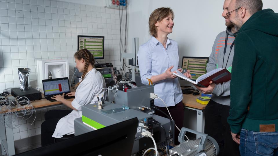
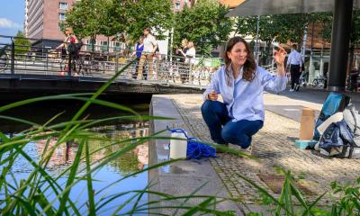
Meeting in the isotope laboratory. | Photo: David Ausserhofer
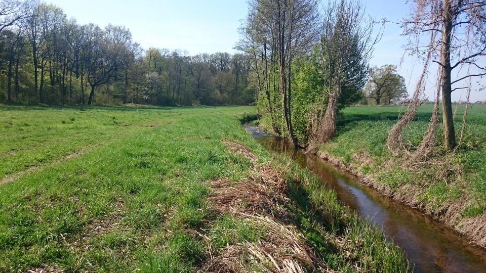
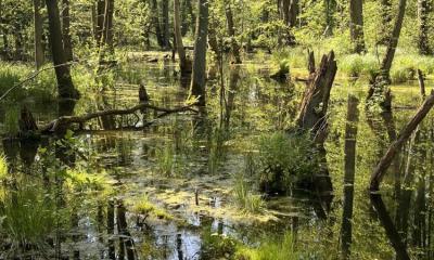
Multiple land-use in a lowland headwater catchment, northeastern Germany. | Photo: Dörthe Tetzlaff / IGB
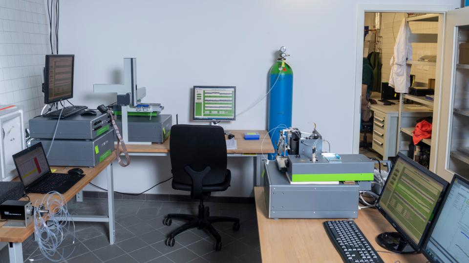
The isotope laboratory at IGB. | Photo: David Ausserhofer
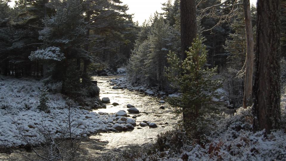
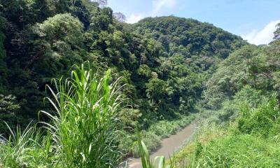
Scots Pine vegetation along Tanar River, Scotland | Photo: Dörthe Tetzlaff / IGB
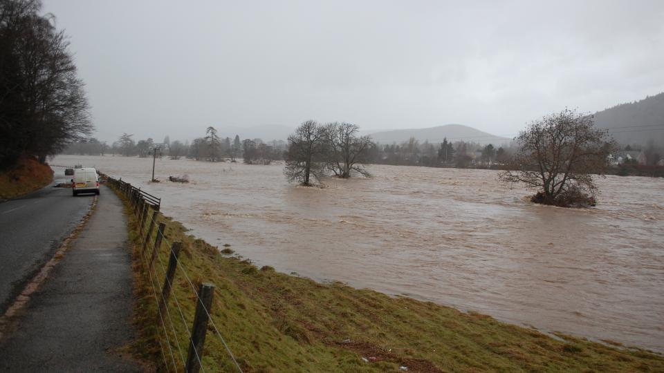
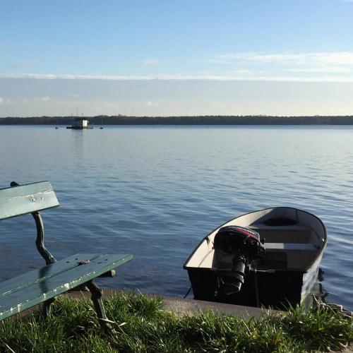
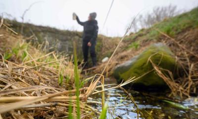
Understanding storage and pathways of water to predict and prevent major flooding. | Photo: Chris Soulsby
Our research allows us to estimate where and how much water is stored in the landscape. This allows us to predict severe flooding and to estimate the effects of droughts. | Photo: Lukas Kleine
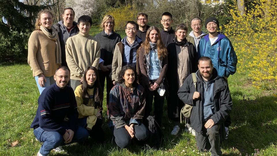
The Research Group in April 2023. | Photo: IGB

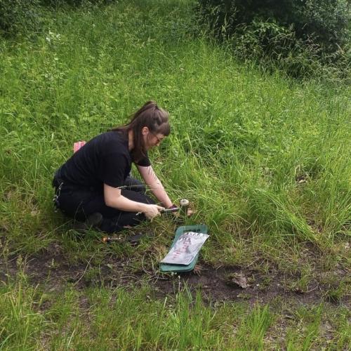
Eine der Messstationen im Demnitzer Mühlenfließ. | Foto: Jonas Freymüller / IGB
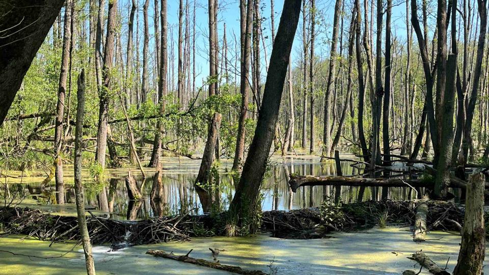
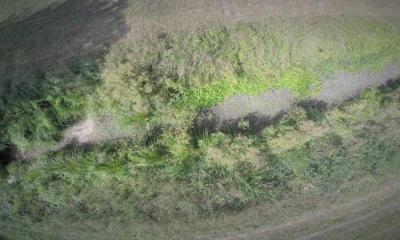
Moorlandschaft | Foto: Dörthe Tetzlaff
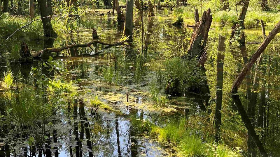
Moorlandschaft | Foto: Dörthe Tetzlaff